At a glance

The walk takes approximately 11hours - which is why we recommend breaking up the journey!

Moderate - please see * info below

27 miles

Flat
Walk
1
Overview
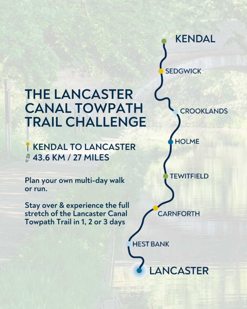
Explore the full Lancaster Canal Towpath Trail with our official DIY Challenge Route from Kendal to Lancaster or vice versa – its your choice!
A brilliant, multi-day stay-over challenge designed to experience the full stretch of the Lancaster Canal Towpath Trail at your own pace. You can take 2 or 3 days and really make the most of this stunning stretch of the Lancaster canal, the most northern canal in England.
Covering a similar distance to a marathon, this route takes you through peaceful countryside, explores canal heritage and quiet towpaths, provides waterside views and links to local villages and plenty of welcoming places to stop along the way.
With fantastic transport links between Kendal and Lancaster thanks to Stagecoach, Northern Rail and/or Trans Pennine Express, you can walk one way and hop on a bus or train back to where you began. Or you could take a few extra days and walk back along the route to enjoy it from the opposite perspective!
The route is a flexible multi-day challenge, perfect for walkers and runners who want to break the journey up at the points they choose by booking a stay at one of the lovely local hotels or inns along the trail – the best way to make a proper trip out of the challenge.
Whether you’re doing it for fitness, fresh air, fundraising, a personal milestone or simply the joy of exploring somewhere new, this is your challenge to complete in your way.
The OS map link provides the route details and the featured accomodation options include;
- Castle Green Hotel (Kendal)
- Crooklands Hotel (Crooklands)
- Longlands Hotel (Tewitfield)
- Tewitfield Marina (Tewitfield)
- South Lakeland Leisure Village (Carnforth)
- Wonderland Retreats (Carnforth)
- New England Caravan Site (Carnforth)
- Morcambe Lodge (Bolton-Le-Sands)
- The Gateway (Hestbank)
- Toll House Inn (Lancaster)
Check out our social media posts to see the views the Towpath Trail has in store for you to enjoy and tag us in your adventures so we can see how you get on!
*Please note that whilst the Towpath Trail is flat in the sections where it follows the canal, in the northern section where the canal has been filled in (Stainton to Kendal) there are some steps and steep slopes at the following locations – Hincaster Tunnel, Farleton, near Levens Deer Park and within Kendal town centre. We are developing solutions to address all of these points to increase accessibility.
Already completed the challenge? Download your certificate here!
Frequently Asked Questions!
Launching the DIY route on our socials in early June 2026 highlighted that many people share the same questions, so we’ve provided some useful links and answers below. Please also visit our FAQ’s page and/or contact us if you need any additional help.
Can you cycle it?
Please read more on our ‘Cycle It‘ page. The majority of the route is owned by the Canal & River Trust, who provide permissive cycling – meaning cycling is allowed when the towpath runs alongside water. This changes at Stainton, where Canal & River Trust ownership ends and the route becomes a Public Right of Way for walkers only. However, National Cycle Network Route 6 provides a nearby alternative cycling route to reach Kendal.
Can you paddle it?
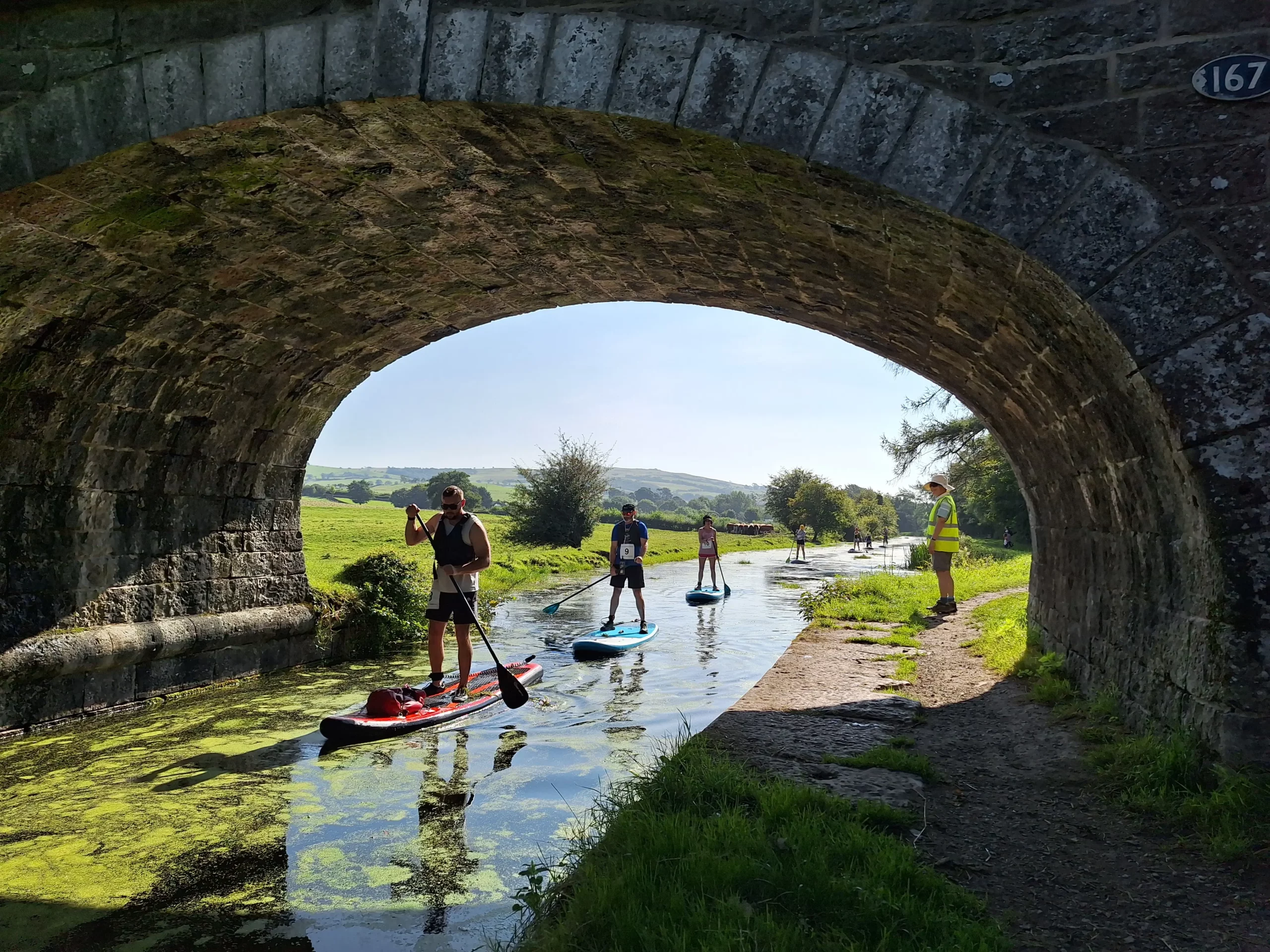
Yes, paddling on the Lancaster Canal is permitted, but a licence is required. Please visit the ‘Paddle It‘ page for more information.
Is it easy to navigate?
The Lancaster Canal Regeneration Partnership CIC recently installed new waymarker and fingerpost signs to help people stay on the Towpath Trail route. Please download the OS route map to support your navigation,
What are the crossings like around the motorway sections?
At every motorway or major road crossing, there is a bridge to reconnect you back onto the Towpath Trail. We’ve done our best to support navigation at these points, but please plan ahead so you know what to expect, particularly in the following areas;
- – South of Sedgwick: Cross over the A590 and follow the lane before re-joining the original Towpath near Hincaster Tunnel.
- – Millness: Where the towpath ends, exit the car park and walk under the bridge to re-join at the other side.
- – Bridge 155 near Farleton: Leave the towpath where the resurfacing finishes, cross the motorway bridge, and re-join the route adjacent to the field
- – Tewitfield: With the locks on your left when travelling south, continue on the path and walk under the bridge with the motorway on your right. You’ll see moored boats and some Lancaster Canal Trust signage at the start of the next Towpath Trail section.
Which of the hotels are Dog friendly?
Please contact your preferred hotel directly
Public transport info? Trains / buses
The Towpath Trial is located close to Lancaster and Kendal stations, as well as the Stagecoach 155 bus route. Please scroll to the bottom of the ‘Access It‘ page for more information.
Is the route wheelchair accessible?
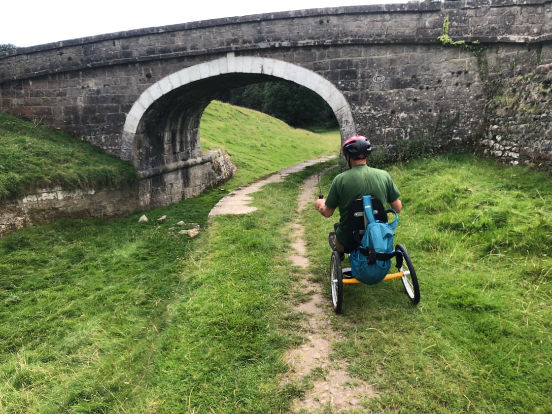
The goal of the Regeneration Partnership is to make the Towpath Trail fully wheelchair accessible. At present, only some sections meet this standard. Please visit the ‘Access It Page‘ for more details.
Can you extend the route through to Preston?
The Towpath Trail initiative aims to connect Kendal and Lancaster via an accessible blue/green corridor. The Lancaster Canal continues to Preston and can be walked and cycled in line with Canal & River Trust permissions. The Regeneration Partnership may extend its work and ambition to Preston in the future.