At a glance
Overview
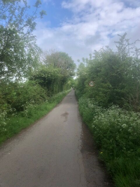
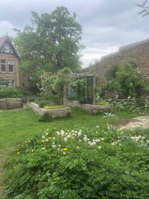
Despite starting and finishing in Lancaster City Centre, this leafy loop route quickly takes you beyond the bustling city and into thriving nature. Explore the brilliant Aldcliffe Community Garden, Fairfield Nature Reserve and Community Orchard before finding your way through Freemans Woods and onto the marshes of the River Lune, home to rare trees protected by Lancashire Wildlife Trust. Loop back to the Towpath Trail via the village of Aldcliffe.
Step 1
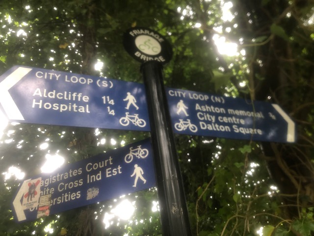
This route starts at Nelson Street Car Park.
Arriving by train:
It’s a 10-minute walk to Nelson Street Car Park from the station – exit the train station down Meeting House Lane, turn right at the A6 junction and then take Common Garden Street, which turns into Brock Street, to walk past the Town Hall. Nelson Street Car Park will be on your right after approximately 300 metres. Enter the car park and walk to the left-hand corner to find the Towpath Trail entrance.
Arriving by bike:
This route is not suitable for cycling, bike storage is available at Lancaster Railway Station. After securing your bike follow the directions above to reach the route starting point.
Arriving by car:
Park at Nelson Street Car Park near Dalton Square and Lancaster Town Hall and enter the Towpath Trail via the entrance in the left-hand corner by the canal bridge.
Step 2
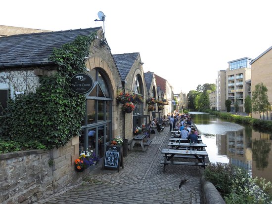
Turn right onto the Towpath Trail from the car park canal exit, in approximately 100 metres exit the towpath following the signs for Aldcliffe.
Cross the road and go over the bridge to re-join the Towpath Trail on the other side of the Canal at The White Cross pub. Walk down onto the Towpath and walk past The White Cross pub. Continue on the Towpath for approximately 600 metres, walking under two bridges and passing The Water Witch pub.
Step 3
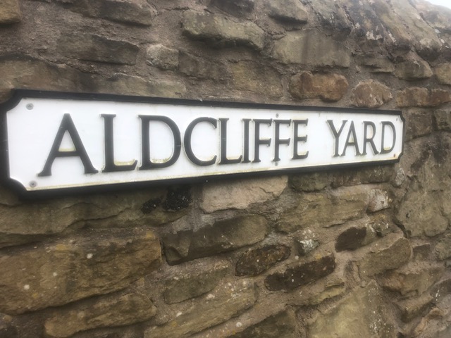
The Towpath ends at ‘Basin Bridge’ also signposted as Aldcliffe Yard. Walk over the bridge and re-join the Towpath Trail on the opposite side of the canal by taking the small path on your right and walking under the bridge.
Step 4
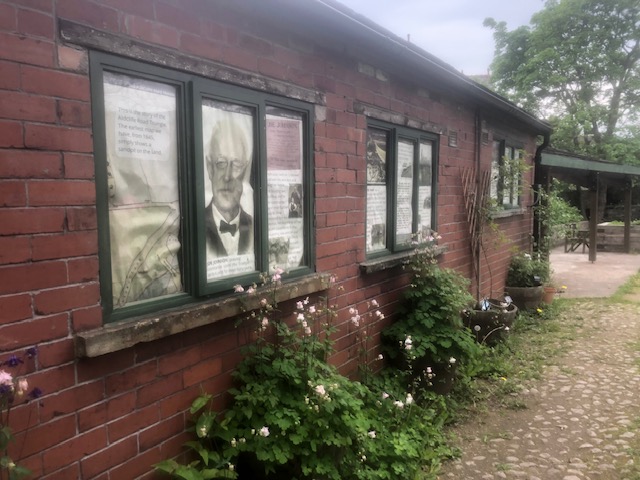
Now you’re back on the Towpath Trail continue for just 30 metres until you see the Aldcliffe Community Garden on your right. Visit the garden to read about its history and to appreciate the flowers and herbs.
Exit the community garden onto Aldcliffe Road and continue under the railway bridge, taking when crossing Brook Street.
Step 5
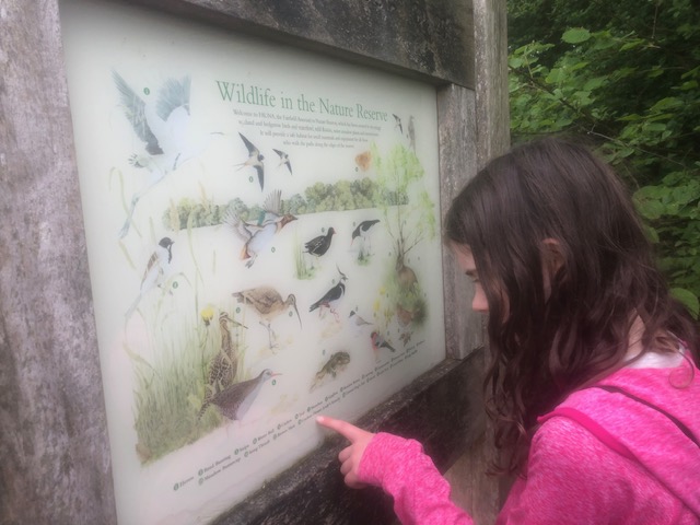
Turn right onto Cromwell Road and continue to the end (approx 120 metres) where you will find the gated entrance to the Fairfield Nature Reserve. Enter the reserve and follow the well defined path spotting wildlife as you go. The Reserve ponds have been recently created to encourage Lapwings and Great Crested Newts.
Step 6
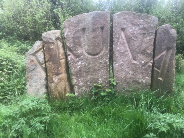
After the ‘Fauna’ stone sculpture you’ll reach a path junction. Turn left to walk through the Orchard.
Step 7
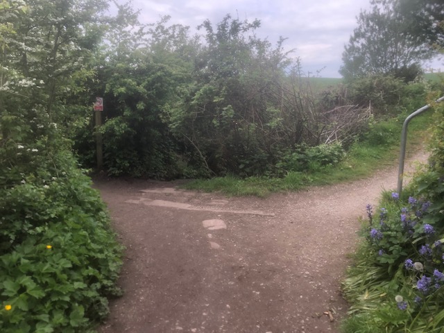
Continue on this path, following the line of ‘Lucy Brook’ on your left-hand side.
At the path junction, head right so the brook remains on your left-hand side.
Step 8
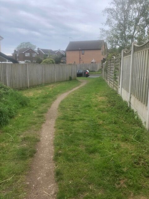
The path temporarily leaves Lucy Brook at Willow Drive.
Turn left on Willow Drive and follow the grass path and then pavement.
At the mini roundabout and farm entrance, continue straight ahead.
Step 9
Turn left to re-join the brook and woodland path just after the electricity sub station.
Step 10
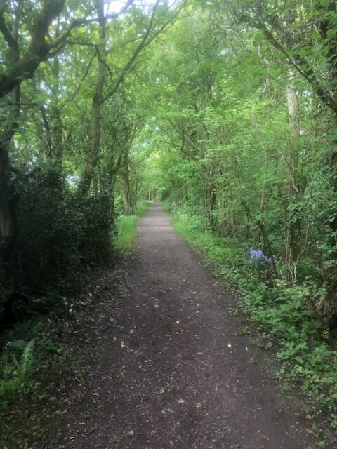
At the footpath junction turn left, passing the Marsh Playing Fields and play area on your right-hand side.
Continue on this straight path for approximately 910 metres, look through the trees to see glimpses of the wildlife rich Freemans Pools on your right.
Step 11
At the estuary junction, turn left, taking note of the sign to keep dogs on leads to protect nesting birds.
Continue on the estuary path for approximately 1.5km keeping an eye out for Herons, elusive Jays and Curlews with their piercing cry!
Step 12
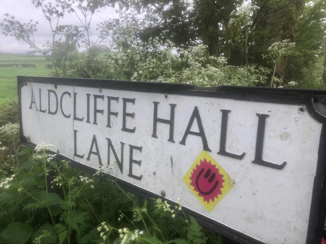
The disused railway path will come into view on your left-hand side. At the metal kissing gate, follow the signs to Aldcliffe along Aldcliffe Hall Lane.
Step 13
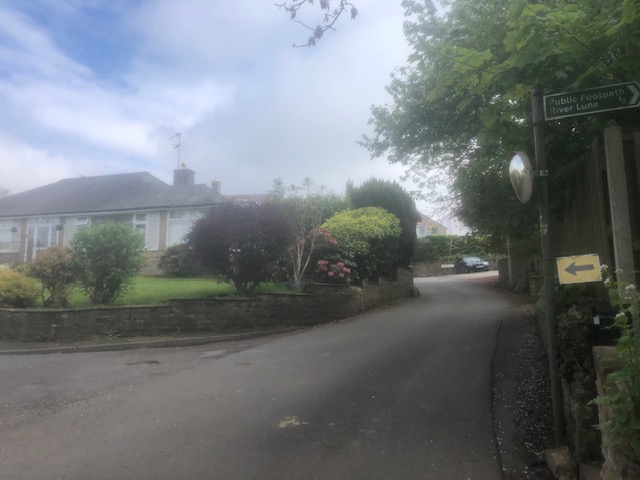
Continue on Aldcliffe Hall Lane, after approximately 660 metres, turn left on to Aldcliffe Hall Drive (on the opposite side there is a signposted footpath to the River Lune). You will pass more houses until you reach the former grand entrance to Aldcliffe Hall which was demolished in the 1960’s.
Step 14
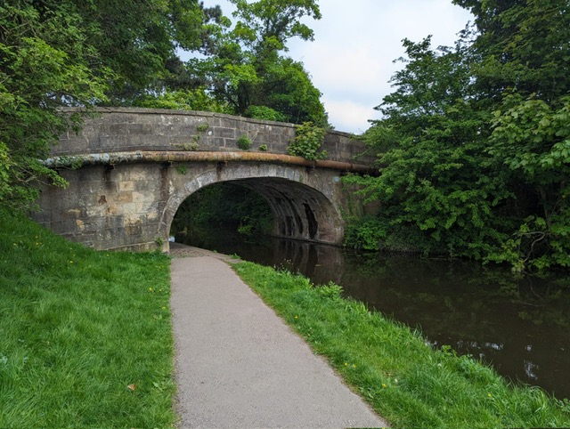
At the end of Aldcliffe Hall Drive you’ll see the original East Lodge, a listed building and nod to the former Aldcliffe Hall.
Cross Aldcliffe Road here and return to the Towpath Trail in front of you, heading left to walk under the bridge.
Step 15
Retrace your previous steps by leaving the Towpath Trail at Basin Bridge (after Aldcliffe Community Garden) to re-join again via the bridge at Aldcliffe Yard and return towards The Water Witch Pub.
Step 16
At the White Cross Pub leave the Towpath, cross the road to return to the Towpath Trail via the path on your right.
Walk towards the next bridge and exit on your left before the bridge to return Nelson Street Car Park.
Lancaster boasts many brilliant places to eat, check out Visit Lancaster’s recommendations here.


